There used to be a ‘reality’ show on television called Alone. The concept for the show was that the producers would select individuals to abandon in the great outdoors with limited supplies, each completely isolated, and under challenging environmental conditions. Then, each, isolated, abandoned person would have to document their day-to-day experiences with selfie-camera-kits. The audience would check in each week to see who was finding successful survival strategies, and who was not, and only the person who stayed out the longest would win the substantial prize.
I was struck by the difference between two contestants in particular. One guy, when he ‘did the math’ decided that the best way to win would be to avoid risk and conserve energy. He ended up burrowing under a log and kind of sleeping in there all day, occasionally finding slugs or bugs to eat. His existence was grim.
But another guy worked at making a boat so he could reach a likely spot to trap fish, and he built a comfortable substantial hut. I recall he had some setbacks that cost him - like his boat capsized and he may have lost some of his gear. But, when he ate, it wasn’t slugs, it was fish - fish that was cooked over a fire. Eventually, he found he had enough free time so that he was able to fabricate a little one-string musical instrument. And then he sang himself little songs. Objectively, the songs weren’t deep, or technically beautiful. But what struck me was that they sprang from a creative, joyful process and to me - well - I know which camp I’d rather be in.
I suspect the vehicles I’ve been privileged to ride in are, in part, the creative, joyful songs of Kip and Rico.
And I don’t mean to juxtapose a profane thing against a holy thing, but this little throne I found in a poop forest - well - even a little thing like this reeks of, among other things, art.
Time to police the cans, pack, and move on.
Kip seems well-rested, well-fed, and cheerful. I feel pretty good too and begin to imagine I can predict the fitful lurchings of the Montero - as if I’m transforming into something of a bull rider attempting to stay balanced for eight seconds at a time.“That was relaxing,” Kip sighs, “but now it’s time to resume exploring these expansive boglands.”
“Yes,” I agree, “I’m really looking forward to…WAIT! Did you say boglands?”
“Yes, buglands,” Kip says, confusing the issue further.
“Wait. Buglands or Boglands? What are you saying?
Kip looks at me like I’m a slow learner. “I’m saying,” and here he sounds it out really slow, “Boog-lay-unds.” He carefully enunciates each syllable of the suspect word which this time, weirdly, suddenly has an extra syllable.
“Damn it Kip, you’re saying it differently every time!”
“No. I’m saying Bögland every time.”
I try to shoot him some side-eye, but of course, he’s got to keep his eye on the road. But I study his face briefly to see if I can determine how full of shit he is. His face is inscrutable. I drop it. I don’t care.
 |
We begin negotiating the switchbacks that lead to the canyon rim.
|
Speaking of names, before the trip, I had such trouble trying to pronounce Owyhee that I checked out McArthur’s tome Oregon Geographic Names. Usually, there are great origin stories in there. Still, the Owyhee entry was curiously incomplete as if McArthur got lost in the middle of a thought and no proofreader caught it. A Wikipedia entry helped me to make sense of it and, generally speaking, the story goes something like this. In the early 1800s, The Northwest Company employed a not insignificant number of men from the Sandwich Islands as trappers who helped to explore Southeast Oregon. The indigenous name for the Sandwich Islands was Hawaii or the Hawaiian Islands, but when Americans tried to spell it, it came out Owyhee. Anyway, 2 or 3 Hawaiians sent to explore an as yet un-named river (un-named by Western Europeans) never returned (presumably killed by indigenous Americans). Maybe a year later, a search party found one skeleton in that area, and I suppose as a memorial, the river was named in the missing men’s honor - The Owyhee.
 |
| (Photo Credit: Rico) |
By now Kip and his trusty Montero have begun the last challenging pitch between us and the plateau above. I can tell the grade is steeper and rougher because my body is doing a credible Raggedy Anne impression and I find myself flailing for that little handle in the ceiling. Kip seems newly emboldened and he spurs the Montero on, leaning into the gas pedal. To see Kip become one with his Montero is akin to listening to the harmonizations of Simon and Garfunkel. Okay, that was clumsy, but I was trying to work back around to that joyful singing idea from before. This moment just seemed like a culmination of all Kip’s engineering and improvements and hours logged into the Montero.
Now we pause briefly where we paused before, but this time with familiarity and thankfulness…and a celebratory beer brand that will now remain nameless until I get a phone call.
Kip and Rico exchange notes regarding the ascent and the performances of their respective vehicles. I listen vicariously. The formerly frozen beers are still ice cold and under these conditions taste almost miraculous. Finally, Rico drains his can and glancing around says something to the effect of, “Well, let’s see what the rest of these mysterious boglands have to offer!”
My ears perk up instantly. “Wait. What did you say?
“What?” says Rico.
“Boglands! You said Boglands,” I accuse.
“No, No…Buglands.” He says.
“He said Böglands.” interjects Kip.
I squint my eyes at Kip and then just let it go. They are obviously in on it together.
The nearest place to acquire gasoline is Jordan, Oregon. This will be a good time to stop by something called the Jordan Craters.
From the road, what looks like a Department of Transportation gravel cache slowly morphs into a ruined crater. The maps tell us this is Coffeepot Crater. Supposedly, 3,200 years ago, the crater was a standing cauldron of percolating lava which would periodically spill over and spread downslope across the plain.
The black pahoehoe lava appears as a severe scar across the landscape…but I guess in terms of deep geologic time, it might just be embryonic soil.
From the rim of the crater, the breached walls suggest a tumultuous past.
 |
| (Photo Credit: Kip) |
To me, walking across the lava field is an eerie experience. The pahoehoe lava looks like hordes of giant writhing batter-pythons instantly frozen into a timeless snapshot. Visual cues suggest curvy motion and undulations, but the soles of your feet report the jarring unforgiving hardness of abrasive rock.
 |
| (Photo Credit: Rico) |
This lava flow covers 27 square miles. It’s pretty impressive, but I can’t help thinking back to our last John Day River expedition and the layers of basalt lava chronicled in the river canyon's walls.
I’m not an expert basalt layer counter, yet it seems at least 13 layers are visible here.
 |
| A figure pulled from the article, Mantle Dynamics Beneath the Pacific Northwest and Generation of Voluminous Back-arc Volcanism by Long, Till, Drunken, Carlson, et al. |
The brown patch shows the extent of magma flows around Steens Mountain and the Columbia River Basin. That’s right, lava flowed all the way to the ocean. It defies imagination. These flows seem to be orders of magnitude beyond what one would expect for even the giant volcano upon which Hawaii perches. I guess it’s no wonder that flows of this magnitude are often correlated with extinction events. 
The simplicity of a straight road, the even hum of the tires on a smooth surface, and hot baked air blowing in my window create a boredom field that lulls me in and out of sleep. The next thing I know we’ve entered Jordan and turn a corner at something that looks like a public handball court. The gas station sign here has a Brontosaurus logo on it.
Draining lukewarm water from the ice chests and restocking them with ice is a bit of production. If we had a beer sponsor, it would have been easy to quickly pick out more beer, but as it is, I’m free to pick any beer that catches my attention and so I flirt with different budget brands.
With essential supplies taken care of, we re-engage the open road.
We are on the verge of descending into Leslie Gulch…
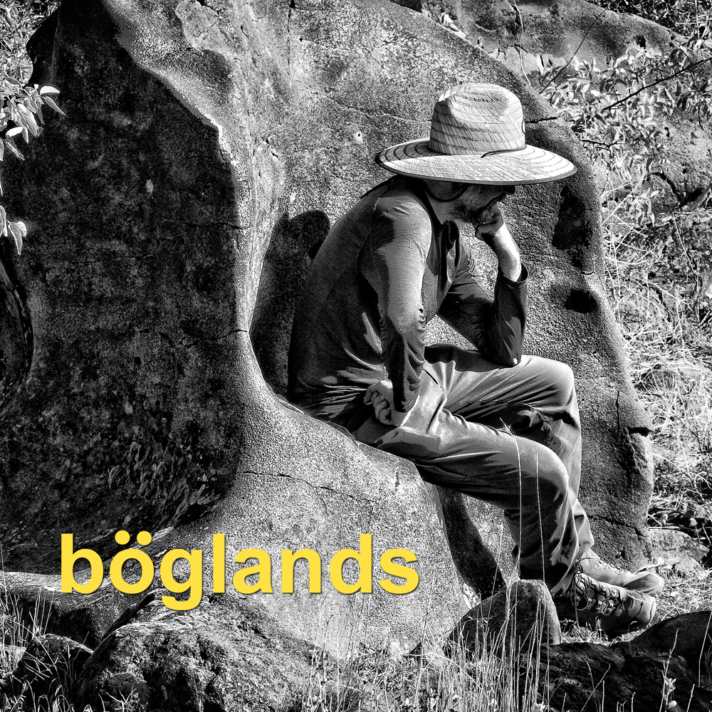
In the meantime, we imagine a Ukulele Road Trip Music LP from an alternative universe (Cover art by Deb)
To be continued...
Did you start reading in the middle of the story? These links provide access to the rest of the story.
PART 1: Hawaii, Owyhee...uh, Boglands (Part One)
PART 2: Hawaii, Owyhee...uh, Böglands (Part Two)
PART 3: Hawaii, Owyhee...uh, Boglands (Part Three)
PART 4: Hawaii, Owyhee...uh, Boglands (Part Four)
and the next part is now available:
PART 6: Hawaii, Owyhee...uh, Boglands (Part Six)


No comments:
Post a Comment