(So, yeah, it’s just an attention grabbing title.)
 |
| 0% containment vs. 11% containment |
Many people commented on last week’s pictures of fire in the
Columbia Gorge, expressing grief and sorrow that the gorge would never be the
same. The hellish orange outlines spreading before the wind were all too
reminiscent of those hot embers we study in the heart of our campfires, leading
one to believe that morning light would reveal only a valley of charcoal and
ashes. But when morning finally did come, the gorge was hidden by heavy
blankets of smoke, and so I was unable to determine the consequences of what I
had seen in the night. It was frustrating — and it still is.
The fire, as of this writing, is still only 11% contained.
That means somewhere amongst the trees, a fire that can spread from Cascade Locks
to Corbett in an evening, is feeding and biding its time, just waiting for a favorable
wind.
Monday was a clear and sunny day with not much wind. I
decided to retrace my route from the night of the fire (I-84 is still closed),
and see what a wild fire means to a forest.
I’ve tried to identify the locations of the areas depicted
in my images with the aid of Google Earth and various maps. It was harder than
I thought, and I want to caution you that my comments are tentative.
 |
| 01 |
 |
In this supplementary image and the ones that follow, the number shows which image is being referenced and also the point where the picture was taken. The yellow cone shows the approximate field of view.
The map is copyright 2017 by GOOGLE EARTH |
(01) Perhaps East Bridal Veil Rd (as viewed from SR 14 overlook)
Editors’s note: This does not look like the apocalyptic
vision I saw last week.
 |
| 02 |
 |
| The map is copyright 2017 by GOOGLE EARTH |
(02) Looking eastward up the Columbia River. Angel’s rest is
directly behind Phoca Rock. Beacon Rock is the monolith on the horizon at left (as
viewed from SR 14 overlook).
 |
| 03 |
 |
| The map is copyright 2017 by GOOGLE EARTH |
(03) A singed Mt. Archer pokes its head above the tree-line at
St. Cloud recreation area.
 |
| 04 |
Smokey arms of a marauding fire embrace the mountains, pantomiming
an apocalypse. Meanwhile, a man in a hat reels in a monstrous smallmouth bass
and comments happily, “We’re eating fish tonight!”
 |
| 05 |
The tops of some ridges seem a little bit more than singed.
 |
| 06 |
Dozens of smoldering fires contribute plumes of smoke to the
valley (view from Beacon Rock State Park).
 |
| 07 |
 |
| The map is copyright 2017 by GOOGLE EARTH |
(06,07) If I had to guess, I’d say the fire in this picture has a
source close to Dodson.
 |
| 08 |
Fire’s method, to my inexperienced eye, seems random and
haphazard. Here a wisp of smoke threatens, “I’ll be back.”
 |
| 09 |
 |
| The map is copyright 2017 by GOOGLE EARTH |
(09) Looking downriver, an enormous plume climbs into the sky
like a thunder cloud. The smoke from the
Dodson area is just a smudge beyond Ives Island (as seen from the S.W. edge of
Hamilton Island).
 |
| 10 |
 |
| The map is copyright 2017 by GOOGLE EARTH |
(10) The mouth of the smoke-shrouded canyon to the right leads to
Wahclella Falls (from a vantage point on Dam Access Rd. at Bonneville Dam).
(Go east past the Chevron station and then turn right on
that dam access road)
 |
| 11 |
 |
| The map is copyright 2017 by GOOGLE EARTH |
(11) Behind the dam, the notch at center-left is, according to my
reckoning, the mouth of the canyon that contains Eagle Creek.
 |
| 12 |
 |
| The map is copyright 2017 by GOOGLE EARTH |
(12) Looking South across the river to Cascade Locks. The Bridge
of the Gods is spanning the Columbia at right.
 |
| 13 |
 |
| The map is copyright 2017 by GOOGLE EARTH |
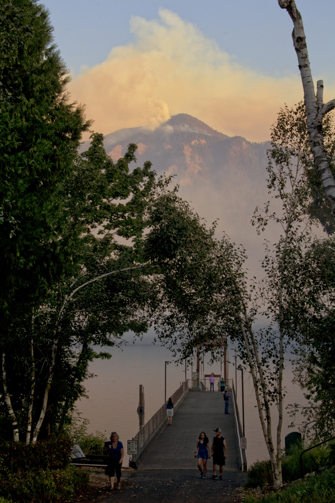
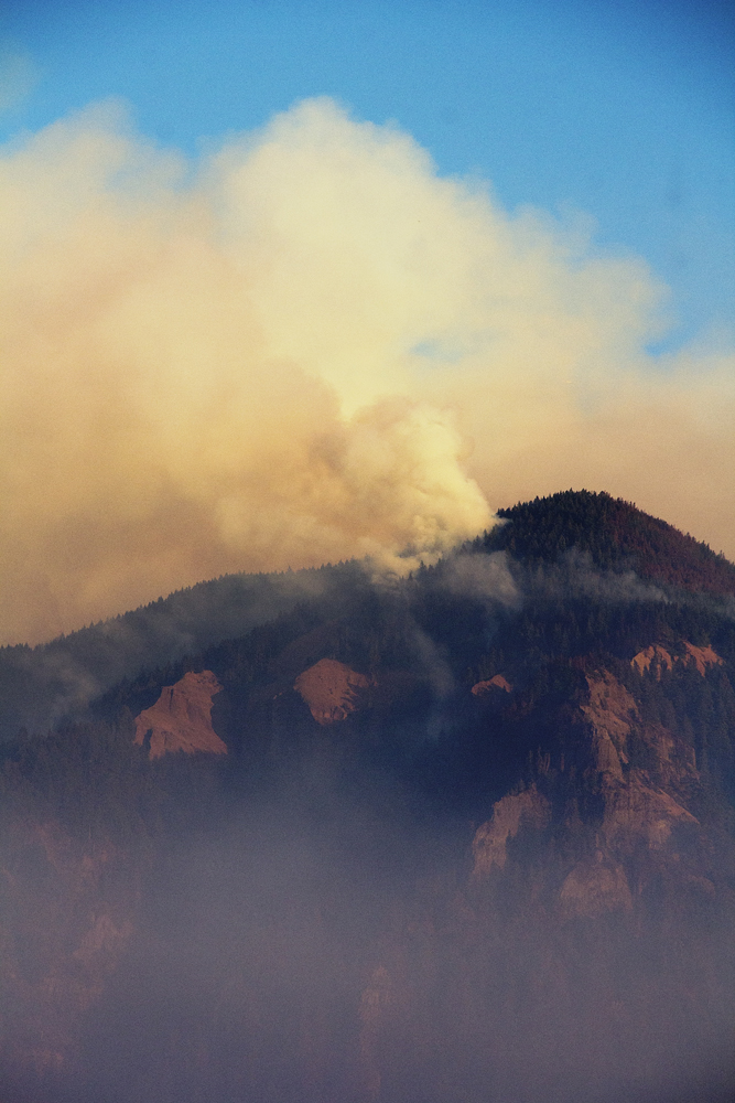
(13) This view from the waterfront in Stevenson shows that the
fire is vigorous and strong. I’m not sure what’s up there on top of the gorge,
but judging from Google Earth, I’d posit maybe the Benson Plateau.
 |
| 14 |
 |
| The map is copyright 2017 by GOOGLE EARTH |
(14) Looking slightly S.W. from the same vantage point, Cascade
Locks and Bridge of the Gods are concealed by smoke settling over the water.
 |
| 15 |
“…a pillar of cloud by day…”
 |
| 16 |
Stevenson Landing
 |
| 17 |
 |
| 18 |
 |
| 19 |
The vagaries of smoke and wind allow a brief glimpse of the Bridge
of the Gods.
 |
| 20 |
Looking upriver to the Government Cove recreation site.
 |
| 21 |
Back at the SR-14 overlook, I survey the scene as night
falls. The yellow hued fire to right is probably the Bridal Veil area. The
small orange hued fire may be the one I saw near Dodson, and the high reddish
plume has got to be the fire near the Benson Plateau, almost 17 miles away.
 |
| 22 |
From this wider angle view, another orange line of fire can
be seen up and to the right of the yellow hued fire. The lights of Cascade
Locks and Stevenson illuminate the smoke settling in the valley.
These two minute exposures reveal the Earth’s spin, showing
the apparent motion of the stars.
There’s nothing like juxtaposing all of our anguish beneath
stars burning steady for billions of years.