Like a network of synapses growing in a brain, roads link us to memories. At the same time, they stretch ever outward, allowing us to reach the edges of the known — where ghosts still whisper and discoveries can yet be made.
Uncle Rico thrives in the margins where roads become matters of interpretation. He led Kip and I into the high deserts of Southeast Oregon where GPS coordinates carry more credibility than the hint of jeep trails threading through sage and juniper.
The distances in this part of Oregon are vast. Gas stations seem to be located more than a gas-tank apart. The plains stretch to the horizon till, over time, some plateau or mountain range eventually begins to climb into the sky, forcing your road to veer off and around — or to begin a series of strategic switchbacks to the top. The skies are so big they remind me of Kansas.
Rico has researched the possible location of petroglyphs by raiding university internet libraries. The historical documents are sketchy, but somehow he has managed to piece geographical descriptions with likely GPS coordinates. Our long journey is thereby broken down into manageable bites as we stop occasionally to hunt the enigmatic messages from pre-history.
Back in the sixties, a husband/wife team (Malcolm and Louise Loring) spent 40 years cataloging rock-art sites of Oregon. Since then, many sites have been lost, but their book still contains a wealth of dutifully recorded drawings of art that may still exist, and deciphering their directions makes searching for the pecked designs something like following a worn treasure map.
For example, “The petroglyphs of figure A are farthest from the highway and are scattered along the south face of a low rim on the summit above a shallow lake which has water in wet seasons,” translates into the scene below…
…and eventually we match some of the panels we find to the designs the Lorings recorded so long ago.
Sometimes we are unable to match a design to the Lorings’ record. Then it becomes an entertaining notion (if not accurate) to suppose we have discovered something previously undiscovered.
Rico and Kip take the liberty of naming this petroglyph Forkhead.
The periphery of the dry lake-bed will make a nice camp. With that decision accomplished, we go on to find the night’s meal.
To my Northwest Oregon eyes, this terrain seems barren and inhospitable. Dust devils arise in an afternoon-long succession of testimony, explaining how dry it is and how unrelenting the sun.
But just below the surface, like subcutaneous arteries, raindrops have migrated from the hills to form secretive high-desert tributaries where life abounds.
We will not be going hungry.
Rico manages to multi-task — hunting rabbits — as we check-out another possible petroglyph locale beneath a prominent butte.
The first order of business upon returning to our intended campsite is to create the traditional needlessly conspicuous bonfire.
The clouds are acting curiously.
While still sober, I set up my hammock between two squat juniper trees, carefully threading it through voids in the low slung branches. Using rare foresight, I string a line for a rainfly just in case.
Shaman-like, Rico conjures the medicine.
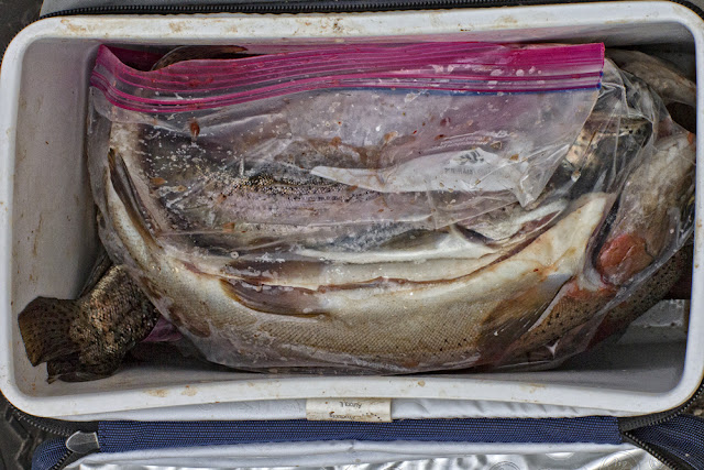
Kip performs bartender duties, sharing a new margarita recipe while Rico prepares trout for the evening’s pending one-species-tacos.
Continue to PART TWO?


Excellent work. It is clear that the protagonists are renaissance men, not to mention extraordinarily handsome. The only criticism I might have is that I'd like to see more Kip, preferably shirtless. Either way, if this one day is any portend of the story to follow, I will stay tuned to the hopefully impending sequels.
ReplyDeleteAs the original Anonymous I would just like to put it on the record that the first comment is not mine. Secondly, I hear Lance Henriksen is interested in the movie rights to Forkhead, and finally, the right side of that Loring pic is some serious caption contest material.
ReplyDelete